Earth observation can support trustworthy AI at scale only when consistent, calibrated measurement is built into the data from the start.
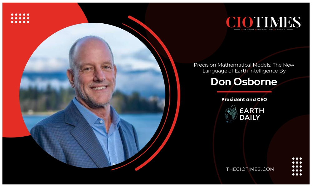
By Don Osborne, President and CEO, EarthDaily
Ask most people what a satellite does, and they will tell you it takes pictures. That framing, satellites as cameras, data as photographs, has defined Earth observation since its earliest days. It shaped how the industry built its systems, described its products, and sold its value.
And for a long time, it was sufficient. It no longer is.
The industry now needs data designed for consistent comparison and machine analysis at scale. Cloud computing changed the economics of data storage and processing. Machine learning changed what could be done with that data. New constellation architectures changed how frequently and consistently it could be collected. Their convergence matters more than any one development individually.
The Photograph and Its Limits
For most of Earth observation’s history, the photograph was the product. You tasked a satellite; it captured a scene; an analyst interpreted it. The insight was human, the data was visual, and the value was largely confined to whoever commissioned the image and knew what they were looking for.
This model served defense and intelligence well but was less suited to industries such as agriculture, insurance and commodities, or to applications such as environmental compliance. These users do not always know what they are looking for; they must monitor vast geographies and need outputs that can enter operational workflows without specialist interpretation.
The gap between what Earth observation could theoretically offer these industries and what it has delivered begins with the kind of data satellites are designed to produce.
From Imagery to Measurement
A photograph captures a moment. A measurement gives that moment a value. Once that value is consistent, it can be compared over time and across places.
Those measurements become the inputs to precision mathematical models that quantify conditions, compare them with historical patterns and estimate how they may develop. This is the new language of Earth intelligence: translating observations into values that can be tested, compared and used to support decisions.
That distinction becomes critical when the data is being used by machines, not people. A human analyst can often work around visual inconsistencies. A machine learning model cannot. Changes in sensor performance, viewing angle or calibration can make the same field look different between passes. A model may then read an artifact in the data as a change on the ground.
That is why consistency is the foundation: same location, same calibrated measurement, pass after pass.
The industry has produced vast amounts of data, much of which requires intensive cleaning, normalization, and calibration before machine learning can be responsibly applied. That preprocessing is what is often called a hidden tax on commercial EO applications, absorbing time, compute, and budget better spent on insight.
The Hard Part Nobody Talks About
Producing data at that standard is harder than it sounds, and the industry has underestimated the difficulty for a long time. The prevailing assumption has been that data quality is a downstream problem.
True measurement-grade data requires solving simultaneously for radiometric consistency, geometric consistency, and temporal consistency. If a field changes between Monday and Tuesday, the system should be able to distinguish real surface change from sensor variation, atmospheric effects, viewing geometry, or inconsistencies between satellites. Every pixel needs to sit at precisely the same coordinates in every observation, with sub-pixel accuracy on every pass.
The collection pattern matters too. If observations are gathered at different times of day or from different viewing angles, the data can start reflecting the collection conditions rather than real change on the ground.
Doing this across a multi-satellite constellation on a daily global scale requires calibration and quality control to be built into the system from the start. It has to be automated, continuous, and checked against trusted references.
Historically, the industry has addressed this through the exquisite satellite approach, investing heavily in individual spacecraft to achieve the precision that ground-based calibration cannot compensate for. Programs like Landsat and Sentinel have demonstrated that this level of rigor is achievable. What the commercial industry has struggled to demonstrate is that it is achievable at the scale, frequency, and cost structure that broad-area, daily global monitoring demands.
The AI Moment Raises the Stakes
Precision mathematical models inherit the quality of their inputs. Foundation models and large-scale machine learning are placing greater demands on EO data because errors in individual observations can propagate through automated systems operating at scale.
The performance of these models depends heavily on the quality and consistency of their training data. A model cannot tell that a recurring feature in the data is an error. If it encounters that error often enough, it starts relying on it. Its outputs may still look precise even when the underlying conclusion is wrong.
That makes data quality central to whether a model can be trusted. As EO-derived AI enters operational workflows across more industries, poor data quality will have tangible consequences — decisions based on unreliable information.
The Precision Mathematical Models Opportunity Ahead
The market is already signaling where it wants to go. Fortune Business Insights projects the global Earth observation market to grow from USD 7.68 billion in 2026 to USD 14.55 billion by 2034. More importantly, imagery data analytical services are expected to account for 41.11% of the market in 2026. That share reflects growing demand for intelligence people can act on.
Consider what becomes possible when the data foundation is right:
- A commodity trader watching grain production across the North American plains is not waiting passively for the next official crop report. They are using earlier signals to understand where production risk may be emerging.
- An insurer with wildfire exposure across thousands of properties does not have to rely only on annual reviews. It can monitor changing conditions across its portfolio as they develop.
- A government tracking food security can follow crop conditions and vegetation stress across an entire region, instead of waiting until a shortfall is already visible in official reporting.
- A conservation organization can watch deforestation pressure around protected areas without waiting for someone to task a satellite to look.
None of these applications are well served by imagery in the traditional sense. All of them become tractable when the underlying data is precise enough, consistent enough, and timely enough to support real machine learning at scale. These sectors have been waiting for Earth observation to deliver on a promise it has been making for years.
The satellite industry has spent decades perfecting the photograph. The next decade belongs to those who can build the measurement systems and precision mathematical models that turn planetary change into intelligence people can trust.
Author Bio
Don Osborne, President and CEO, EarthDaily
Don Osborne is a veteran leader in the global space and technology industry, with more than three decades of experience advancing satellite systems, geospatial intelligence, aerospace engineering and mission-critical technologies. As Chief Executive Officer of EarthDaily, Don leads the company’s transformation into a global provider of advanced Earth Observation and AI-powered analytics, overseeing strategy, commercial expansion, and the deployment of the next-generation EarthDaily Constellation.
Also Read :- CIO Times Magazine For More Information